Path junction and pylon, Cardiff
Introduction
The photograph on this page of Path junction and pylon, Cardiff by Jaggery as part of the Geograph project.
The Geograph project started in 2005 with the aim of publishing, organising and preserving representative images for every square kilometre of Great Britain, Ireland and the Isle of Man.

There are currently over 7.5m images from over 14,400 individuals and you can help contribute to the project by visiting https://www.geograph.org.uk
Path junction and pylon, Cardiff
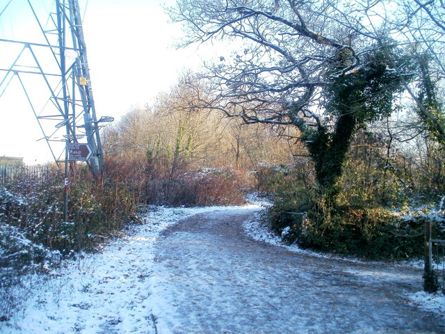
Image: © Jaggery Taken: 29 Nov 2010
The pylon http://www.geograph.org.uk/photo/2183530 is on the east bank of the River Taff, alongside the M4 motorway. A sign attached to the pylon points to the right, towards the Taff Trail (part of National Cycle Route 8), and Cardiff city centre.
Images are licensed for reuse under creativecommons.org/licenses/by-sa/2.0
Image Location
Latitude
51.524819
Longitude
-3.252549