Oakdene Close Mile Oak
Introduction
The photograph on this page of Oakdene Close Mile Oak by Dave Spicer as part of the Geograph project.
The Geograph project started in 2005 with the aim of publishing, organising and preserving representative images for every square kilometre of Great Britain, Ireland and the Isle of Man.

There are currently over 7.5m images from over 14,400 individuals and you can help contribute to the project by visiting https://www.geograph.org.uk
Oakdene Close Mile Oak
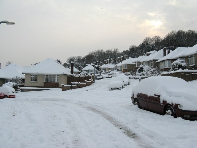
Image: © Dave Spicer Taken: 2 Dec 2010
Oakdene Close and all the other roads west of the central Mile Oak Road were built from the 1950's onwards.
Images are licensed for reuse under creativecommons.org/licenses/by-sa/2.0
Image Location
Latitude
50.851113
Longitude
-0.23303