Tilbury: railway lines
Introduction
The photograph on this page of Tilbury: railway lines by Nigel Cox as part of the Geograph project.
The Geograph project started in 2005 with the aim of publishing, organising and preserving representative images for every square kilometre of Great Britain, Ireland and the Isle of Man.

There are currently over 7.5m images from over 14,400 individuals and you can help contribute to the project by visiting https://www.geograph.org.uk
Tilbury: railway lines
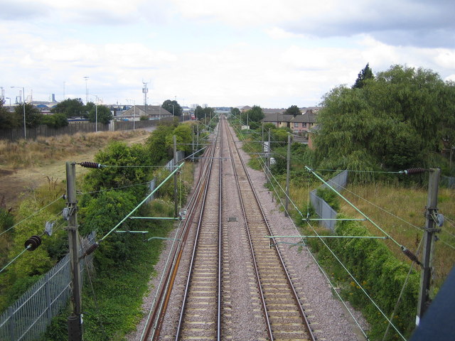
Image: © Nigel Cox Taken: 11 Aug 2006
Looking towards Tilbury Town railway station from the Hairpin Bridge, with Tilbury Docks beyond the fence to the left. The Hairpin Bridge is now only a pedestrian footbridge, but at one time there was a major road bridge here which provided one of the main vehicular routes into the docks.
Images are licensed for reuse under creativecommons.org/licenses/by-sa/2.0
Image Location
Latitude
51.460177
Longitude
0.356431