Central part of residential Iron Bridge Road, Tongwynlais
Introduction
The photograph on this page of Central part of residential Iron Bridge Road, Tongwynlais by Jaggery as part of the Geograph project.
The Geograph project started in 2005 with the aim of publishing, organising and preserving representative images for every square kilometre of Great Britain, Ireland and the Isle of Man.

There are currently over 7.5m images from over 14,400 individuals and you can help contribute to the project by visiting https://www.geograph.org.uk
Central part of residential Iron Bridge Road, Tongwynlais
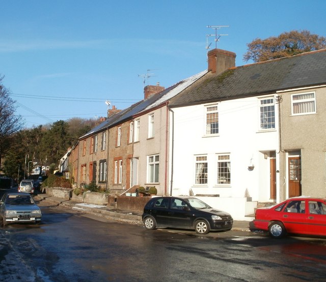
Image: © Jaggery Taken: 29 Nov 2010
The houses are near a fork in the road http://www.geograph.org.uk/photo/2183048 where Iron Bridge Road splits into a residential arm and an arm leading to the River Taff.
Images are licensed for reuse under creativecommons.org/licenses/by-sa/2.0
Image Location
Latitude
51.529344
Longitude
-3.24979