Northern end of Iron Bridge Road, Tongwynlais
Introduction
The photograph on this page of Northern end of Iron Bridge Road, Tongwynlais by Jaggery as part of the Geograph project.
The Geograph project started in 2005 with the aim of publishing, organising and preserving representative images for every square kilometre of Great Britain, Ireland and the Isle of Man.

There are currently over 7.5m images from over 14,400 individuals and you can help contribute to the project by visiting https://www.geograph.org.uk
Northern end of Iron Bridge Road, Tongwynlais
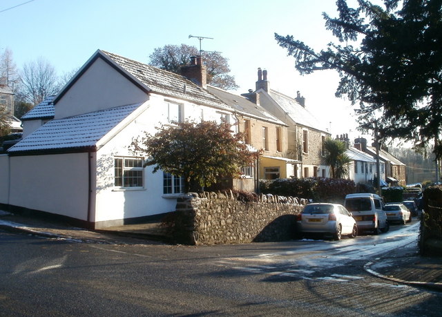
Image: © Jaggery Taken: 29 Nov 2010
Houses on the east side of the road, viewed from Merthyr Road. The west side of the road is here occupied by a primary school. http://www.geograph.org.uk/photo/2181741
Images are licensed for reuse under creativecommons.org/licenses/by-sa/2.0
Image Location
Latitude
51.530243
Longitude
-3.249815