Ruined church, Llanbedr D.C.
Introduction
The photograph on this page of Ruined church, Llanbedr D.C. by Eirian Evans as part of the Geograph project.
The Geograph project started in 2005 with the aim of publishing, organising and preserving representative images for every square kilometre of Great Britain, Ireland and the Isle of Man.

There are currently over 7.5m images from over 14,400 individuals and you can help contribute to the project by visiting https://www.geograph.org.uk
Ruined church, Llanbedr D.C.
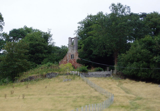
Image: © Eirian Evans Taken: 13 Aug 2006
The ruined medieval church next to Llanbedr Hall, first recorded in 1254, was abandoned when the Victorian church in the modern village of Llanbedr Dyffryn Clwyd was built.
Images are licensed for reuse under creativecommons.org/licenses/by-sa/2.0
Image Location
Latitude
53.128482
Longitude
-3.279263