Grazing land near the A511
Introduction
The photograph on this page of Grazing land near the A511 by Trevor Rickard as part of the Geograph project.
The Geograph project started in 2005 with the aim of publishing, organising and preserving representative images for every square kilometre of Great Britain, Ireland and the Isle of Man.

There are currently over 7.5m images from over 14,400 individuals and you can help contribute to the project by visiting https://www.geograph.org.uk
Grazing land near the A511
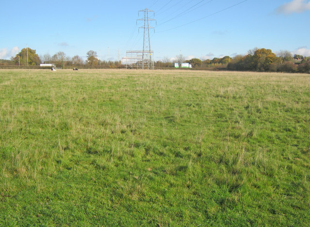
Image: © Trevor Rickard Taken: 6 Nov 2010
Looking north-east along the power lines to the busy main road at the far end of the field. Much scaffolding in place either side of the road as these lines are being replaced - see Image
Images are licensed for reuse under creativecommons.org/licenses/by-sa/2.0
Image Location
Latitude
52.700762
Longitude
-1.321452