Meadows south of the A511
Introduction
The photograph on this page of Meadows south of the A511 by Trevor Rickard as part of the Geograph project.
The Geograph project started in 2005 with the aim of publishing, organising and preserving representative images for every square kilometre of Great Britain, Ireland and the Isle of Man.

There are currently over 7.5m images from over 14,400 individuals and you can help contribute to the project by visiting https://www.geograph.org.uk
Meadows south of the A511
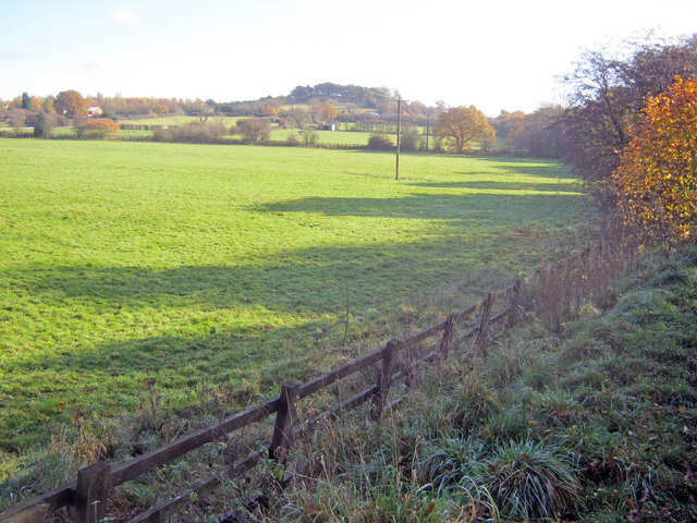
Image: © Trevor Rickard Taken: 6 Nov 2010
From the old railway embankment looking east towards Billa Barra Hill.
Images are licensed for reuse under creativecommons.org/licenses/by-sa/2.0
Image Location
Latitude
52.699861
Longitude
-1.32117