Maldon an aerial view
Introduction
The photograph on this page of Maldon an aerial view by terry joyce as part of the Geograph project.
The Geograph project started in 2005 with the aim of publishing, organising and preserving representative images for every square kilometre of Great Britain, Ireland and the Isle of Man.

There are currently over 7.5m images from over 14,400 individuals and you can help contribute to the project by visiting https://www.geograph.org.uk
Maldon an aerial view
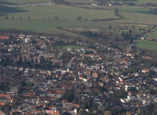
Image: © terry joyce Taken: 6 Mar 2009
There is what appears to be a water tower that isn't shown on the OS map at Image All Saints Primary School can be seen just above centre.
Images are licensed for reuse under creativecommons.org/licenses/by-sa/2.0
Image Location
Latitude
51.729397
Longitude
0.669033