A Tir Gofal Path Post
Introduction
The photograph on this page of A Tir Gofal Path Post by Eric Jones as part of the Geograph project.
The Geograph project started in 2005 with the aim of publishing, organising and preserving representative images for every square kilometre of Great Britain, Ireland and the Isle of Man.

There are currently over 7.5m images from over 14,400 individuals and you can help contribute to the project by visiting https://www.geograph.org.uk
A Tir Gofal Path Post
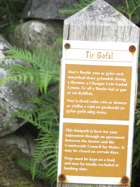
Image: © Eric Jones Taken: 12 Aug 2006
The Tir Gofal Scheme,established in 1999, encourages the creation of way marked permissive paths across farmlands in scenic areas where there is an absence of paths. These are usually farm access tracks and privately owned green lanes.
Images are licensed for reuse under creativecommons.org/licenses/by-sa/2.0
Image Location
Latitude
53.122084
Longitude
-4.207129