Embankment at Caersws
Introduction
The photograph on this page of Embankment at Caersws by John Lucas as part of the Geograph project.
The Geograph project started in 2005 with the aim of publishing, organising and preserving representative images for every square kilometre of Great Britain, Ireland and the Isle of Man.

There are currently over 7.5m images from over 14,400 individuals and you can help contribute to the project by visiting https://www.geograph.org.uk
Embankment at Caersws
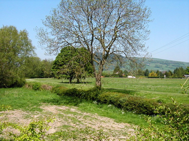
Image: © John Lucas Taken: 24 May 2001
An embankment to the west of Caersws of unknown (to me) purpose. It appears to partly follow the route of a marked Roman road but alternatively may be some form of flood defence. Any further information would be appreciated.
Images are licensed for reuse under creativecommons.org/licenses/by-sa/2.0
Image Location
Latitude
52.515369
Longitude
-3.435274