Tongwynlais Village Hall
Introduction
The photograph on this page of Tongwynlais Village Hall by Jaggery as part of the Geograph project.
The Geograph project started in 2005 with the aim of publishing, organising and preserving representative images for every square kilometre of Great Britain, Ireland and the Isle of Man.

There are currently over 7.5m images from over 14,400 individuals and you can help contribute to the project by visiting https://www.geograph.org.uk
Tongwynlais Village Hall
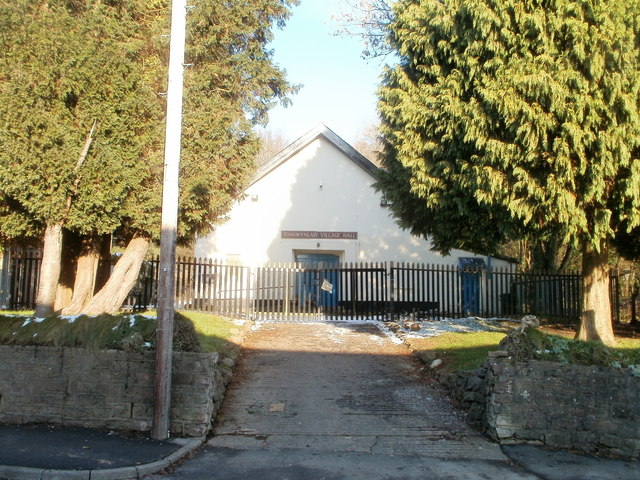
Image: © Jaggery Taken: 29 Nov 2010
Set back about 20 metres from Merthyr Road, in a fenced-off area with padlocked entry gates. The hall is at the SW edge of Greenmeadow Wood.
Images are licensed for reuse under creativecommons.org/licenses/by-sa/2.0
Image Location
Latitude
51.531126
Longitude
-3.251281