Purfleet: Church Hollow
Introduction
The photograph on this page of Purfleet: Church Hollow by Nigel Cox as part of the Geograph project.
The Geograph project started in 2005 with the aim of publishing, organising and preserving representative images for every square kilometre of Great Britain, Ireland and the Isle of Man.

There are currently over 7.5m images from over 14,400 individuals and you can help contribute to the project by visiting https://www.geograph.org.uk
Purfleet: Church Hollow
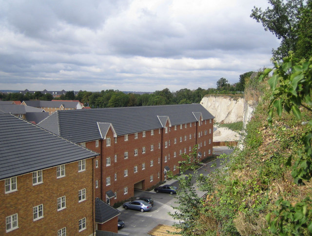
Image: © Nigel Cox Taken: 11 Aug 2006
This new housing development, viewed from Tank Lane, is in a former chalk quarry, although Streetmap currently shows it as an oil depot, suggesting that this is at least its second major change of use.
Images are licensed for reuse under creativecommons.org/licenses/by-sa/2.0
Image Location
Latitude
51.484135
Longitude
0.235235