The Lewis Arms, Tongwynlais
Introduction
The photograph on this page of The Lewis Arms, Tongwynlais by Jaggery as part of the Geograph project.
The Geograph project started in 2005 with the aim of publishing, organising and preserving representative images for every square kilometre of Great Britain, Ireland and the Isle of Man.

There are currently over 7.5m images from over 14,400 individuals and you can help contribute to the project by visiting https://www.geograph.org.uk
The Lewis Arms, Tongwynlais
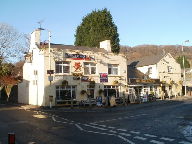
Image: © Jaggery Taken: 29 Nov 2010
Large pub in the centre of the village, on the corner of Merthyr Road and Mill Road. Named after a once-prominent family in the area. There is another Lewis Arms http://www.geograph.org.uk/photo/389992 a few kilometres away. The pub sign http://www.geograph.org.uk/photo/2181252 shows the Lewis family coat of arms.
Images are licensed for reuse under creativecommons.org/licenses/by-sa/2.0
Image Location
Latitude
51.53201
Longitude
-3.252747