Barlow Lees Lane
Introduction
The photograph on this page of Barlow Lees Lane by Gordon Elliott as part of the Geograph project.
The Geograph project started in 2005 with the aim of publishing, organising and preserving representative images for every square kilometre of Great Britain, Ireland and the Isle of Man.

There are currently over 7.5m images from over 14,400 individuals and you can help contribute to the project by visiting https://www.geograph.org.uk
Barlow Lees Lane
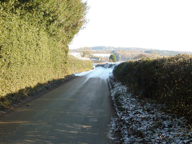
Image: © Gordon Elliott Taken: 28 Nov 2010
The road in the foreground is dry, sheltered by the hedges and trees, but it soon becomes treacherous with snow and ice. Our van couldn't manage a steep up-hill further on, but luckily a tractor was at hand to give us a tow. We weren't the only ones!
Images are licensed for reuse under creativecommons.org/licenses/by-sa/2.0
Image Location
Latitude
53.282701
Longitude
-1.496608