Wiggs Farm
Introduction
The photograph on this page of Wiggs Farm by Trevor Rickard as part of the Geograph project.
The Geograph project started in 2005 with the aim of publishing, organising and preserving representative images for every square kilometre of Great Britain, Ireland and the Isle of Man.

There are currently over 7.5m images from over 14,400 individuals and you can help contribute to the project by visiting https://www.geograph.org.uk
Wiggs Farm
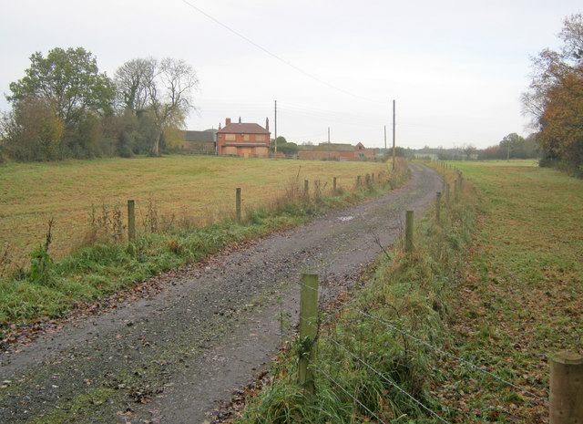
Image: © Trevor Rickard Taken: 14 Nov 2010
The farmhouse is all boarded up and there is a hint of security surrounding the site with the brand new extra strong gates along the entrance road. Perhaps this is because the area off to the right is a fishery.
Images are licensed for reuse under creativecommons.org/licenses/by-sa/2.0
Image Location


Leaflet Map data © OpenStreetMap
Latitude
52.674716
Longitude
-1.374951