NW edge of Tongwynlais
Introduction
The photograph on this page of NW edge of Tongwynlais by Jaggery as part of the Geograph project.
The Geograph project started in 2005 with the aim of publishing, organising and preserving representative images for every square kilometre of Great Britain, Ireland and the Isle of Man.

There are currently over 7.5m images from over 14,400 individuals and you can help contribute to the project by visiting https://www.geograph.org.uk
NW edge of Tongwynlais
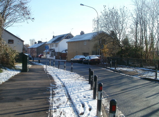
Image: © Jaggery Taken: 29 Nov 2010
The A4054 (Merthyr Road) reaches Tongwynlais, a village with a population of about 2,000. Formerly part of the county borough of Taff Ely, (later renamed Rhondda Cynon Taf), Tongwynlais has been absorbed into the City and County of Cardiff. It is in Cardiff North Rural Area.
Images are licensed for reuse under creativecommons.org/licenses/by-sa/2.0
Image Location


Leaflet Map data © OpenStreetMap
Latitude
51.531995
Longitude
-3.254188