River Taff upstream from the B4262 bridge
Introduction
The photograph on this page of River Taff upstream from the B4262 bridge by Jaggery as part of the Geograph project.
The Geograph project started in 2005 with the aim of publishing, organising and preserving representative images for every square kilometre of Great Britain, Ireland and the Isle of Man.

There are currently over 7.5m images from over 14,400 individuals and you can help contribute to the project by visiting https://www.geograph.org.uk
River Taff upstream from the B4262 bridge
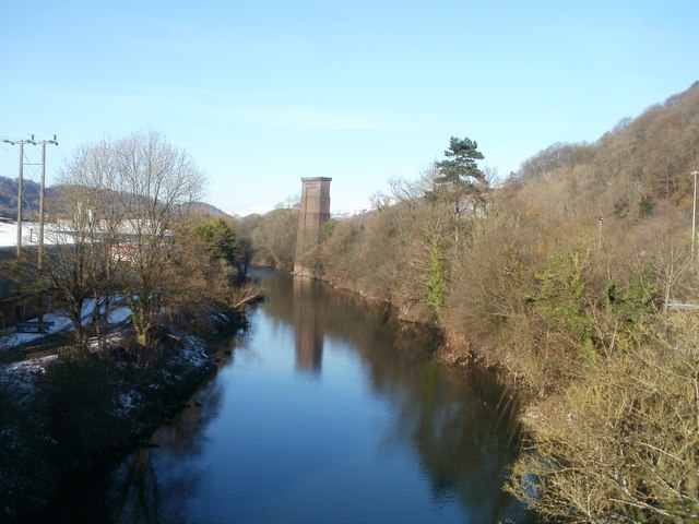
Image: © Jaggery Taken: 29 Nov 2010
Viewed from the newer http://www.geograph.org.uk/photo/1276106 of two adjacent road bridges across the Taff. In the distance is a bridge pier, http://www.geograph.org.uk/photo/514531 once part of a railway viaduct.
Images are licensed for reuse under creativecommons.org/licenses/by-sa/2.0
Image Location
Latitude
51.537311
Longitude
-3.261543