The course of the Port Carlisle railway
Introduction
The photograph on this page of The course of the Port Carlisle railway by Jonathan Thacker as part of the Geograph project.
The Geograph project started in 2005 with the aim of publishing, organising and preserving representative images for every square kilometre of Great Britain, Ireland and the Isle of Man.

There are currently over 7.5m images from over 14,400 individuals and you can help contribute to the project by visiting https://www.geograph.org.uk
The course of the Port Carlisle railway
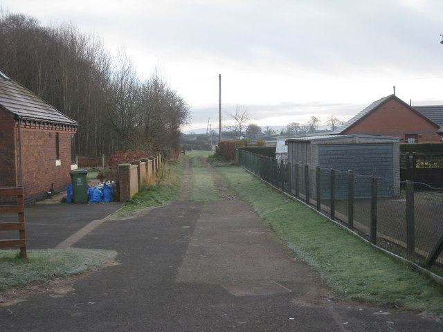
Image: © Jonathan Thacker Taken: 26 Nov 2010
For much of its length the railway (which had been built on the line of an earlier canal) followed the line of Hadrian's Wall. The railway through Burgh closed in 1964 to passengers, though freight continued for a couple of years longer.
Images are licensed for reuse under creativecommons.org/licenses/by-sa/2.0
Image Location


Leaflet Map data © OpenStreetMap
Latitude
54.921073
Longitude
-3.048573