Preston Gardens
Introduction
The photograph on this page of Preston Gardens by terry joyce as part of the Geograph project.
The Geograph project started in 2005 with the aim of publishing, organising and preserving representative images for every square kilometre of Great Britain, Ireland and the Isle of Man.

There are currently over 7.5m images from over 14,400 individuals and you can help contribute to the project by visiting https://www.geograph.org.uk
Preston Gardens
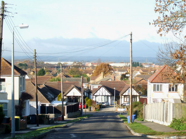
Image: © terry joyce Taken: 29 Nov 2010
This short section of road has between 8 to 10 properties and links Downhall Road to Hambro Avenue. I was standing near the junction of Hambro Avenue and approximately 40 metres behind where I was standing is the London to Southend railway line.
Images are licensed for reuse under creativecommons.org/licenses/by-sa/2.0
Image Location
Latitude
51.596563
Longitude
0.609106