The A58 at the Birkenshaw / Drighlington boundary
Introduction
The photograph on this page of The A58 at the Birkenshaw / Drighlington boundary by Humphrey Bolton as part of the Geograph project.
The Geograph project started in 2005 with the aim of publishing, organising and preserving representative images for every square kilometre of Great Britain, Ireland and the Isle of Man.

There are currently over 7.5m images from over 14,400 individuals and you can help contribute to the project by visiting https://www.geograph.org.uk
The A58 at the Birkenshaw / Drighlington boundary
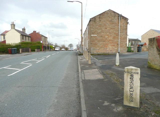
Image: © Humphrey Bolton Taken: 30 Mar 2010
The closed-off road on the right is Hodgson Lane, superseded as a through route by the Drighlington bypass road. See Image for a close view of the boundary stone.
Images are licensed for reuse under creativecommons.org/licenses/by-sa/2.0
Image Location
Latitude
53.752423
Longitude
-1.673907