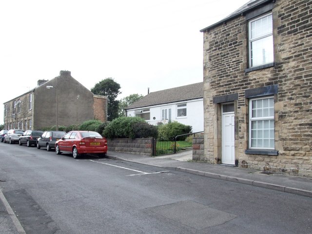
Bolehill Lane, Crookes
Introduction
The photograph on this page of Bolehill Lane, Crookes by Dave Hitchborne as part of the Geograph project.
The Geograph project started in 2005 with the aim of publishing, organising and preserving representative images for every square kilometre of Great Britain, Ireland and the Isle of Man.
There are currently over 7.5m images from over 14,400 individuals and you can help contribute to the project by visiting https://www.geograph.org.uk

Image: © Dave Hitchborne Taken: 26 Aug 2008
One day I might discover why the first house my parents rented, was pulled down. It stood the furthest away in this gap. Although I have a very good memory for the past, I can't remember the inside of the house, even though it will have been almost identical to the one my wife and I bought, in Toftwood Road. I can recall the steep staircase, which scared me and I can remember it's dark green walls. I remember my father growing caterpillar infested nasturtiums in the raised garden and how could I forget the outside loo. There was a curler and headscarf clad neighbour who always seemed to be shouting for her daughter, "MARLENE"! Well we lived here from 1945 until 1949 and by then I was seven. I contacted T.B. in '48/'49 and when I came out of convalescent, in Southport, we'd moved to 239a Crookes - http://www.geograph.org.uk/photo/1232062 We obviously spent the winter of '47 here and I saw the snow up to the bedroom windows. I was taken for a walk through the hard packed snow one day and on part of the walk we saw the triangular top of a road sign at our feet.
Image Location


