Scour slip River Carron
Introduction
The photograph on this page of Scour slip River Carron by Michael Dennis Stagg as part of the Geograph project.
The Geograph project started in 2005 with the aim of publishing, organising and preserving representative images for every square kilometre of Great Britain, Ireland and the Isle of Man.

There are currently over 7.5m images from over 14,400 individuals and you can help contribute to the project by visiting https://www.geograph.org.uk
Scour slip River Carron
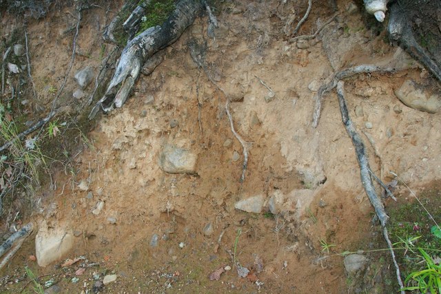
Image: © Michael Dennis Stagg Taken: 26 Sep 2010
River Carron eroded high bank above cobble flood edge
Images are licensed for reuse under creativecommons.org/licenses/by-sa/2.0
Image Location


Leaflet Map data © OpenStreetMap
Latitude
57.88881
Longitude
-4.378937