Public Footpath Overlooking Thurlstone
Introduction
The photograph on this page of Public Footpath Overlooking Thurlstone by Jonathan Clitheroe as part of the Geograph project.
The Geograph project started in 2005 with the aim of publishing, organising and preserving representative images for every square kilometre of Great Britain, Ireland and the Isle of Man.

There are currently over 7.5m images from over 14,400 individuals and you can help contribute to the project by visiting https://www.geograph.org.uk
Public Footpath Overlooking Thurlstone
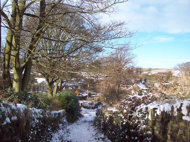
Image: © Jonathan Clitheroe Taken: 27 Nov 2010
Track leading down to Stottercliffe Road from the Trans Pennine Trail. This picture was taken on a bright but freezing morning in late November following the first snowfall of the winter.
Images are licensed for reuse under creativecommons.org/licenses/by-sa/2.0
Image Location
Latitude
53.527274
Longitude
-1.644563