Dilapidated house at the crossroads
Introduction
The photograph on this page of Dilapidated house at the crossroads by Dave Fergusson as part of the Geograph project.
The Geograph project started in 2005 with the aim of publishing, organising and preserving representative images for every square kilometre of Great Britain, Ireland and the Isle of Man.

There are currently over 7.5m images from over 14,400 individuals and you can help contribute to the project by visiting https://www.geograph.org.uk
Dilapidated house at the crossroads
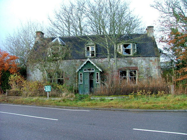
Image: © Dave Fergusson Taken: 22 Nov 2010
The house sits on the junction of the A832 and the Munlochy to Culbokie roads.
Images are licensed for reuse under creativecommons.org/licenses/by-sa/2.0
Image Location
Latitude
57.553017
Longitude
-4.256869