Lane from Hartridge Farm Road to Llanwern golf course
Introduction
The photograph on this page of Lane from Hartridge Farm Road to Llanwern golf course by Jaggery as part of the Geograph project.
The Geograph project started in 2005 with the aim of publishing, organising and preserving representative images for every square kilometre of Great Britain, Ireland and the Isle of Man.

There are currently over 7.5m images from over 14,400 individuals and you can help contribute to the project by visiting https://www.geograph.org.uk
Lane from Hartridge Farm Road to Llanwern golf course
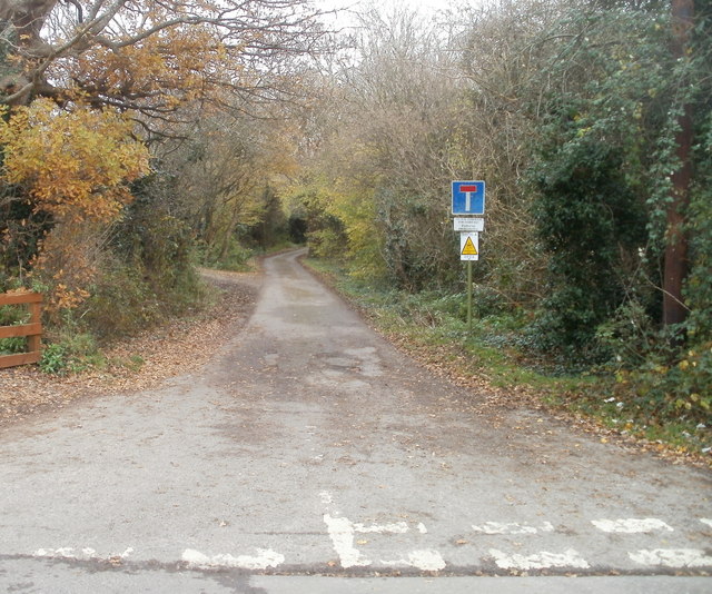
Image: © Jaggery Taken: 26 Nov 2010
Near the southern end of Hartridge Farm Road, a lane heads eastwards towards a small group of houses, and a path to Llanwern golf course. In case the No Through Road sign is not clear enough, a text sign underneath states NO WAY THROUGH FOR VEHICLES PARKING PROHIBITED The third sign, with a yellow triangle, states that this is a neighbourhood watch area.
Images are licensed for reuse under creativecommons.org/licenses/by-sa/2.0
Image Location
Latitude
51.583527
Longitude
-2.935191