Fork ahead, Hartridge Farm Road, Newport
Introduction
The photograph on this page of Fork ahead, Hartridge Farm Road, Newport by Jaggery as part of the Geograph project.
The Geograph project started in 2005 with the aim of publishing, organising and preserving representative images for every square kilometre of Great Britain, Ireland and the Isle of Man.

There are currently over 7.5m images from over 14,400 individuals and you can help contribute to the project by visiting https://www.geograph.org.uk
Fork ahead, Hartridge Farm Road, Newport
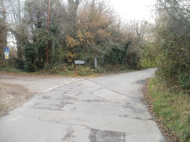
Image: © Jaggery Taken: 26 Nov 2010
Near its southern end, Hartridge Farm Road bends to the right. Just around the corner are entrances to an RSPCA animal shelter and a road safety centre. On the left, a lane leads to the western side of Llanwern golf course.
Images are licensed for reuse under creativecommons.org/licenses/by-sa/2.0
Image Location
Latitude
51.583515
Longitude
-2.936634