'New' Ness Bridge
Introduction
The photograph on this page of 'New' Ness Bridge by Stephen Craven as part of the Geograph project.
The Geograph project started in 2005 with the aim of publishing, organising and preserving representative images for every square kilometre of Great Britain, Ireland and the Isle of Man.

There are currently over 7.5m images from over 14,400 individuals and you can help contribute to the project by visiting https://www.geograph.org.uk
'New' Ness Bridge
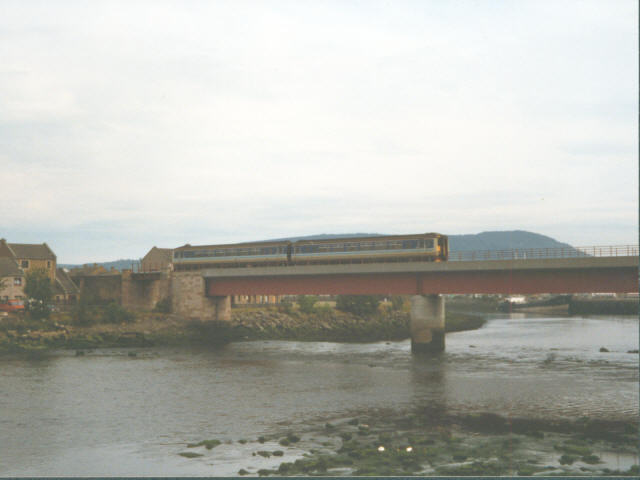
Image: © Stephen Craven Taken: 19 Jul 1996
The 'old' bridge was swept away by floods in 1990. This utilitarian replacement straddles the border of two grid squares but the northern span shown here is in Image
Images are licensed for reuse under creativecommons.org/licenses/by-sa/2.0
Image Location
Latitude
57.484426
Longitude
-4.233448