The Bolehills, near Crookes
Introduction
The photograph on this page of The Bolehills, near Crookes by Dave Hitchborne as part of the Geograph project.
The Geograph project started in 2005 with the aim of publishing, organising and preserving representative images for every square kilometre of Great Britain, Ireland and the Isle of Man.

There are currently over 7.5m images from over 14,400 individuals and you can help contribute to the project by visiting https://www.geograph.org.uk
The Bolehills, near Crookes
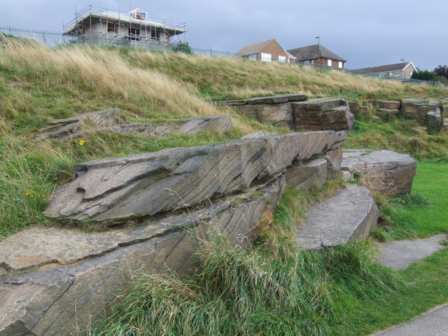
Image: © Dave Hitchborne Taken: 26 Aug 2008
A close-up of the rocky outcrop, in this former quarry. You don't have to dig down very far to find this sandstone. Woodfield Road runs along the top of this outcrop and four roads lead up from the main road to meet it. The houses fronting two of these roads can just be seen. Those on the right are on Stothard Road and those on the left are on Netherfield Road. The next two roads to the left are Loxley View Road and Longfield Road. All of these roads are built on field boundaries.
Images are licensed for reuse under creativecommons.org/licenses/by-sa/2.0
Image Location
Latitude
53.387841
Longitude
-1.511307