Foxglove and meadow, Luddendenfoot
Introduction
The photograph on this page of Foxglove and meadow, Luddendenfoot by Mark Anderson as part of the Geograph project.
The Geograph project started in 2005 with the aim of publishing, organising and preserving representative images for every square kilometre of Great Britain, Ireland and the Isle of Man.

There are currently over 7.5m images from over 14,400 individuals and you can help contribute to the project by visiting https://www.geograph.org.uk
Foxglove and meadow, Luddendenfoot
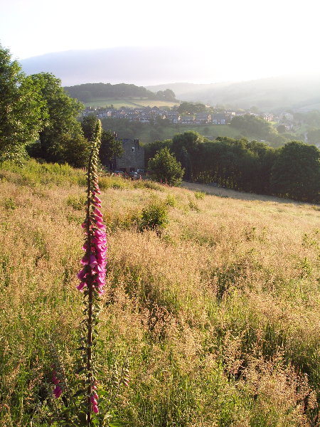
Image: © Mark Anderson Taken: 27 Jun 2005
Looking N at Luddendenfoot from Sowerby Lane. The Kershaw estate can be seen on the next hill. While the Ordnance Survey spelling is "Luddenden Foot", roadsigns follow local custom with "Luddendenfoot".
Images are licensed for reuse under creativecommons.org/licenses/by-sa/2.0
Image Location


Leaflet Map data © OpenStreetMap
Latitude
53.719599
Longitude
-1.948441