Lane blocked by metal barrier, Ringland, Newport
Introduction
The photograph on this page of Lane blocked by metal barrier, Ringland, Newport by Jaggery as part of the Geograph project.
The Geograph project started in 2005 with the aim of publishing, organising and preserving representative images for every square kilometre of Great Britain, Ireland and the Isle of Man.

There are currently over 7.5m images from over 14,400 individuals and you can help contribute to the project by visiting https://www.geograph.org.uk
Lane blocked by metal barrier, Ringland, Newport
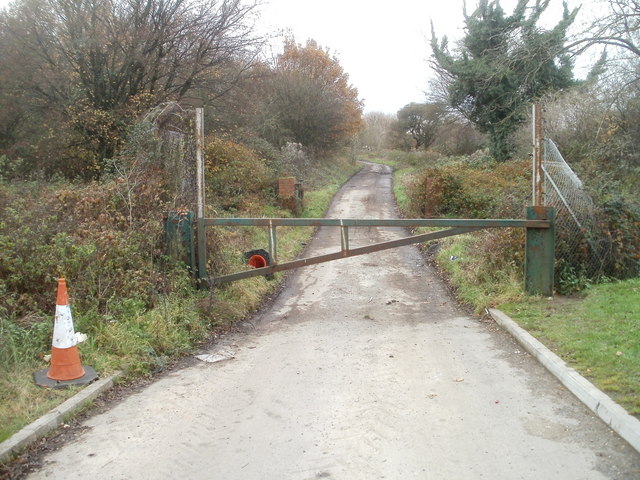
Image: © Jaggery Taken: 26 Nov 2010
The lane, located between Ringland Way (A48) and Hartridge Farm Road, leads to disused sewage works.
Images are licensed for reuse under creativecommons.org/licenses/by-sa/2.0
Image Location
Latitude
51.58529
Longitude
-2.939557