Morley Close flats, Newport
Introduction
The photograph on this page of Morley Close flats, Newport by Jaggery as part of the Geograph project.
The Geograph project started in 2005 with the aim of publishing, organising and preserving representative images for every square kilometre of Great Britain, Ireland and the Isle of Man.

There are currently over 7.5m images from over 14,400 individuals and you can help contribute to the project by visiting https://www.geograph.org.uk
Morley Close flats, Newport
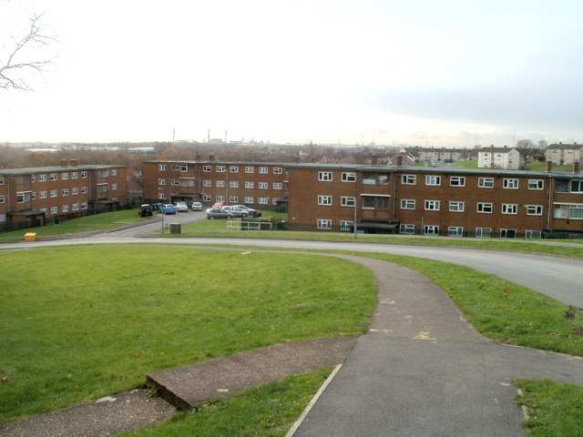
Image: © Jaggery Taken: 26 Nov 2010
Viewed from Dunstable Road. Morley Close contains 36 flats, 12 in each of 3 buildings, built in the 1960s.
Images are licensed for reuse under creativecommons.org/licenses/by-sa/2.0
Image Location
Latitude
51.587088
Longitude
-2.939594