Hollins Lane, Stannington
Introduction
The photograph on this page of Hollins Lane, Stannington by Dave Hitchborne as part of the Geograph project.
The Geograph project started in 2005 with the aim of publishing, organising and preserving representative images for every square kilometre of Great Britain, Ireland and the Isle of Man.

There are currently over 7.5m images from over 14,400 individuals and you can help contribute to the project by visiting https://www.geograph.org.uk
Hollins Lane, Stannington
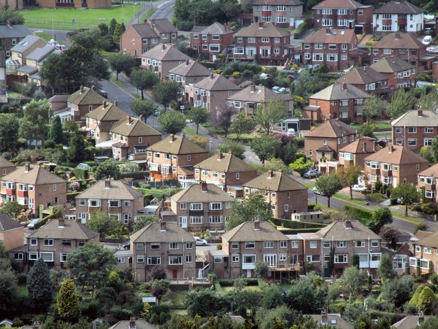
Image: © Dave Hitchborne Taken: 26 Aug 2008
The lane extends from Rivelin Valley Road to Stannington Road. Centre of frame is it at its junction with Rivelin Park Crescent.
Images are licensed for reuse under creativecommons.org/licenses/by-sa/2.0
Image Location
Latitude
53.392378
Longitude
-1.521781