Long Way Round
Introduction
The photograph on this page of Long Way Round by Michael Patterson as part of the Geograph project.
The Geograph project started in 2005 with the aim of publishing, organising and preserving representative images for every square kilometre of Great Britain, Ireland and the Isle of Man.

There are currently over 7.5m images from over 14,400 individuals and you can help contribute to the project by visiting https://www.geograph.org.uk
Long Way Round
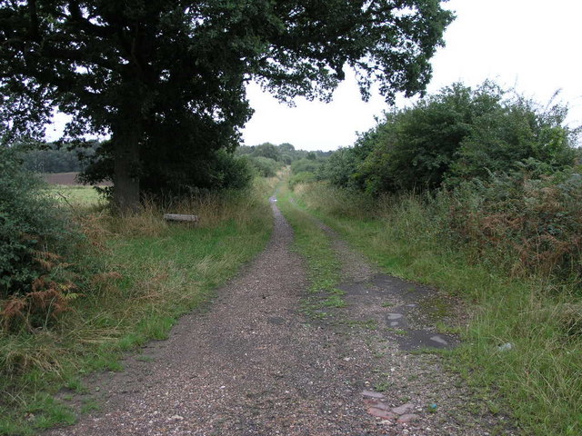
Image: © Michael Patterson Taken: 7 Aug 2006
This footpath leads to a point just down the road from where it begins. The path would be the longer way to go to the same point and even if it looks peaceful the runway of Robin Hood Airport is just beyond the trees.
Images are licensed for reuse under creativecommons.org/licenses/by-sa/2.0
Image Location
Latitude
53.48018
Longitude
-1.029563