Moss Barn ruins
Introduction
The photograph on this page of Moss Barn ruins by John Aspden as part of the Geograph project.
The Geograph project started in 2005 with the aim of publishing, organising and preserving representative images for every square kilometre of Great Britain, Ireland and the Isle of Man.

There are currently over 7.5m images from over 14,400 individuals and you can help contribute to the project by visiting https://www.geograph.org.uk
Moss Barn ruins
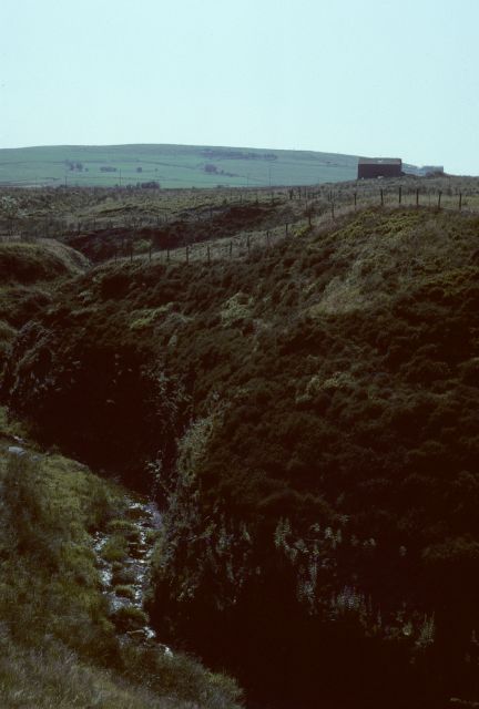
Image: © John Aspden Taken: Unknown
The building on the right is the ruin of Moss Barn, half demolished, before it was rebuilt. Just behind it and to the right, on the edge of the hillside, is Middle Bank End Farm.
Images are licensed for reuse under creativecommons.org/licenses/by-sa/2.0
Image Location
Latitude
53.722434
Longitude
-2.235465