Path, Manor Park
Introduction
The photograph on this page of Path, Manor Park by Derek Harper as part of the Geograph project.
The Geograph project started in 2005 with the aim of publishing, organising and preserving representative images for every square kilometre of Great Britain, Ireland and the Isle of Man.

There are currently over 7.5m images from over 14,400 individuals and you can help contribute to the project by visiting https://www.geograph.org.uk
Path, Manor Park
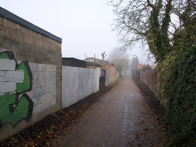
Image: © Derek Harper Taken: 19 Nov 2010
Further north along the path shown in Image, here running between Canterbury Avenue and Hatton Avenue.
Images are licensed for reuse under creativecommons.org/licenses/by-sa/2.0
Image Location
Latitude
51.529482
Longitude
-0.610127