High Mindork
Introduction
The photograph on this page of High Mindork by Andy Farrington as part of the Geograph project.
The Geograph project started in 2005 with the aim of publishing, organising and preserving representative images for every square kilometre of Great Britain, Ireland and the Isle of Man.

There are currently over 7.5m images from over 14,400 individuals and you can help contribute to the project by visiting https://www.geograph.org.uk
High Mindork
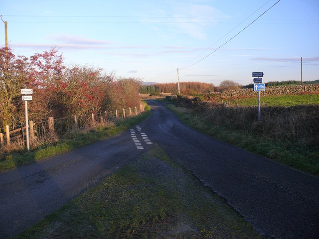
Image: © Andy Farrington Taken: 23 Nov 2010
View of this junction at High Mindork which is effectively a staggered crossroads. Ahead leads to Spittal and Wigtown, ahead and left turn in 150 yards leads to Kirkcowan. Right of picture out of shot is Mindork Farm.
Images are licensed for reuse under creativecommons.org/licenses/by-sa/2.0
Image Location


Leaflet Map data © OpenStreetMap
Latitude
54.893201
Longitude
-4.641061