Arch bridge on a sharp bend in B4246
Introduction
The photograph on this page of Arch bridge on a sharp bend in B4246 by Jaggery as part of the Geograph project.
The Geograph project started in 2005 with the aim of publishing, organising and preserving representative images for every square kilometre of Great Britain, Ireland and the Isle of Man.

There are currently over 7.5m images from over 14,400 individuals and you can help contribute to the project by visiting https://www.geograph.org.uk
Arch bridge on a sharp bend in B4246
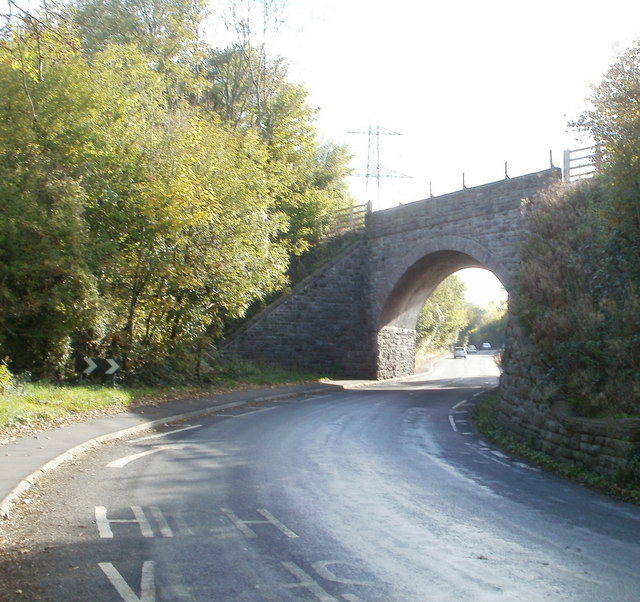
Image: © Jaggery Taken: 22 Oct 2010
The bridge above the B4246 formerly carried the Abergavenny to Brynmawr railway route. The railbed of the dismantled railway is now used for a combined cycleway and footpath. http://www.geograph.org.uk/photo/2174478 to the view from the other side.
Images are licensed for reuse under creativecommons.org/licenses/by-sa/2.0
Image Location
Latitude
51.818156
Longitude
-3.0474