Looking South up Acklands Lane, Luckwell Bridge
Introduction
The photograph on this page of Looking South up Acklands Lane, Luckwell Bridge by Ian Wigley as part of the Geograph project.
The Geograph project started in 2005 with the aim of publishing, organising and preserving representative images for every square kilometre of Great Britain, Ireland and the Isle of Man.

There are currently over 7.5m images from over 14,400 individuals and you can help contribute to the project by visiting https://www.geograph.org.uk
Looking South up Acklands Lane, Luckwell Bridge
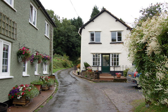
Image: © Ian Wigley Taken: 11 Aug 2006
The cottage on the right, once the village shop, provided everything needed not only by villagers but by local farmers and remained a village shop until 1973.
Images are licensed for reuse under creativecommons.org/licenses/by-sa/2.0
Image Location


Leaflet Map data © OpenStreetMap
Latitude
51.136187
Longitude
-3.565036