Newport : Brynglas Avenue houses between a bend and an empty site
Introduction
The photograph on this page of Newport : Brynglas Avenue houses between a bend and an empty site by Jaggery as part of the Geograph project.
The Geograph project started in 2005 with the aim of publishing, organising and preserving representative images for every square kilometre of Great Britain, Ireland and the Isle of Man.

There are currently over 7.5m images from over 14,400 individuals and you can help contribute to the project by visiting https://www.geograph.org.uk
Newport : Brynglas Avenue houses between a bend and an empty site
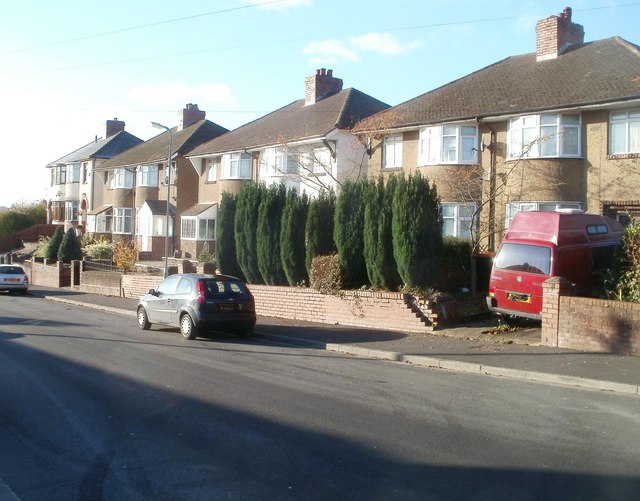
Image: © Jaggery Taken: 25 Nov 2010
These houses on the western side of Brynglas Avenue are located next to a sharp bend (just behind the camera) and a fenced-off area, http://www.geograph.org.uk/photo/1460348 roughly 180 metres by 50 metres, formerly the site of prefabs. A prefab was a prefabricated single-storey building http://www.geograph.org.uk/photo/1981336, many of which were erected in Newport to help meet a severe housing shortage after the Second World War.
Images are licensed for reuse under creativecommons.org/licenses/by-sa/2.0
Image Location
Latitude
51.603705
Longitude
-2.996251