Road across Middleton Low Moor
Introduction
The photograph on this page of Road across Middleton Low Moor by Gordon Hatton as part of the Geograph project.
The Geograph project started in 2005 with the aim of publishing, organising and preserving representative images for every square kilometre of Great Britain, Ireland and the Isle of Man.

There are currently over 7.5m images from over 14,400 individuals and you can help contribute to the project by visiting https://www.geograph.org.uk
Road across Middleton Low Moor
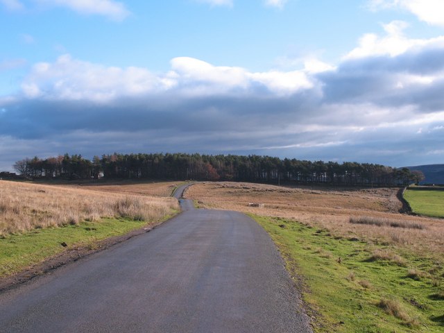
Image: © Gordon Hatton Taken: 23 Nov 2010
A section of the road between Langbar and Middleton where it runs across open moorland. Ling Park Plantation is seen in the distance.
Images are licensed for reuse under creativecommons.org/licenses/by-sa/2.0
Image Location
Latitude
53.952292
Longitude
-1.841491