LNG pipeline west of Waterston
Introduction
The photograph on this page of LNG pipeline west of Waterston by Patrick as part of the Geograph project.
The Geograph project started in 2005 with the aim of publishing, organising and preserving representative images for every square kilometre of Great Britain, Ireland and the Isle of Man.

There are currently over 7.5m images from over 14,400 individuals and you can help contribute to the project by visiting https://www.geograph.org.uk
LNG pipeline west of Waterston
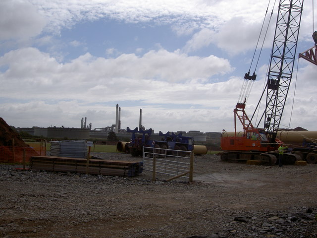
Image: © Patrick Taken: 1 Aug 2006
Under construction - the pipeline which will take liquid natural gas to England after it unloads from tankers in the Haven. This massive development has proceeded with little public debate or scrutiny of its implications for the local economy, the environment or safety. The oil refinery is in the background.
Images are licensed for reuse under creativecommons.org/licenses/by-sa/2.0
Image Location
Latitude
51.713388
Longitude
-5.003594