Water Tower
Introduction
The photograph on this page of Water Tower by terry joyce as part of the Geograph project.
The Geograph project started in 2005 with the aim of publishing, organising and preserving representative images for every square kilometre of Great Britain, Ireland and the Isle of Man.

There are currently over 7.5m images from over 14,400 individuals and you can help contribute to the project by visiting https://www.geograph.org.uk
Water Tower
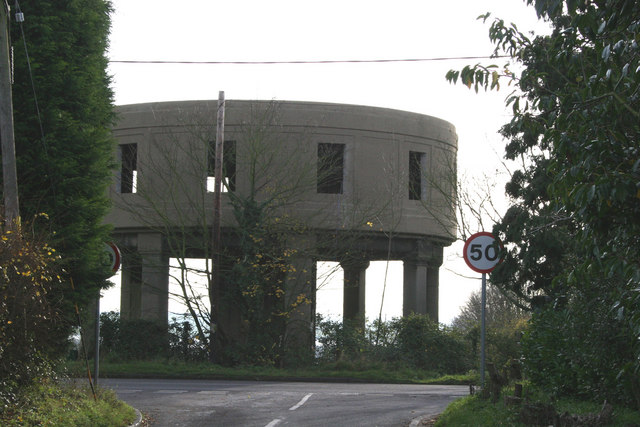
Image: © terry joyce Taken: 24 Nov 2010
This Water Tower is on the B1010, the Lower Burnham Road near Latchingdon Hall. It appears to be undergoing transformation as there are holes cut in the sides, presumably for windows.
Images are licensed for reuse under creativecommons.org/licenses/by-sa/2.0
Image Location


Leaflet Map data © OpenStreetMap
Latitude
51.655051
Longitude
0.730305