Oaks Close, Newport
Introduction
The photograph on this page of Oaks Close, Newport by Jaggery as part of the Geograph project.
The Geograph project started in 2005 with the aim of publishing, organising and preserving representative images for every square kilometre of Great Britain, Ireland and the Isle of Man.

There are currently over 7.5m images from over 14,400 individuals and you can help contribute to the project by visiting https://www.geograph.org.uk
Oaks Close, Newport
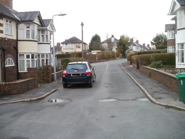
Image: © Jaggery Taken: 22 Nov 2010
Oaks Close is a short road connecting with Cae Brynton Road. This view is from the far end. http://www.geograph.org.uk/photo/1133254 to the opposite view.
Images are licensed for reuse under creativecommons.org/licenses/by-sa/2.0
Image Location
Latitude
51.574814
Longitude
-3.010049