Former chapel, High Street, Batheaston
Introduction
The photograph on this page of Former chapel, High Street, Batheaston by Humphrey Bolton as part of the Geograph project.
The Geograph project started in 2005 with the aim of publishing, organising and preserving representative images for every square kilometre of Great Britain, Ireland and the Isle of Man.

There are currently over 7.5m images from over 14,400 individuals and you can help contribute to the project by visiting https://www.geograph.org.uk
Former chapel, High Street, Batheaston
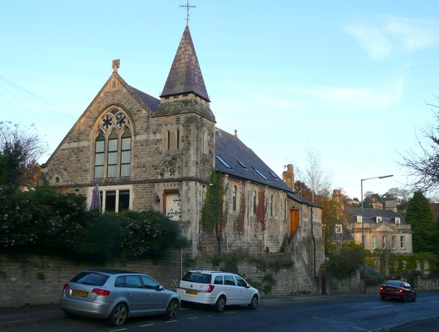
Image: © Humphrey Bolton Taken: 16 Nov 2010
This is evidently a house now, but with minimal alterations - the roof-lights and perhaps the elaborate hinges on the door under the steeple.
Images are licensed for reuse under creativecommons.org/licenses/by-sa/2.0
Image Location
Latitude
51.405188
Longitude
-2.320544