The view down Cae Perllan Road, Newport
Introduction
The photograph on this page of The view down Cae Perllan Road, Newport by Jaggery as part of the Geograph project.
The Geograph project started in 2005 with the aim of publishing, organising and preserving representative images for every square kilometre of Great Britain, Ireland and the Isle of Man.

There are currently over 7.5m images from over 14,400 individuals and you can help contribute to the project by visiting https://www.geograph.org.uk
The view down Cae Perllan Road, Newport
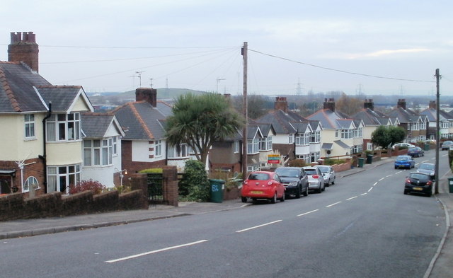
Image: © Jaggery Taken: 22 Nov 2010
After a steep descent from Stow Park Circle, Cae Perllan Road approaches level ground near its southern end at the junction with Cae Brynton Road.
Images are licensed for reuse under creativecommons.org/licenses/by-sa/2.0
Image Location
Latitude
51.575713
Longitude
-3.010069