The Kymin, Penarth
Introduction
The photograph on this page of The Kymin, Penarth by Jaggery as part of the Geograph project.
The Geograph project started in 2005 with the aim of publishing, organising and preserving representative images for every square kilometre of Great Britain, Ireland and the Isle of Man.

There are currently over 7.5m images from over 14,400 individuals and you can help contribute to the project by visiting https://www.geograph.org.uk
The Kymin, Penarth
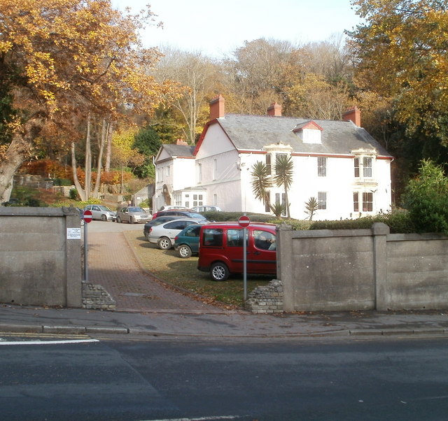
Image: © Jaggery Taken: 24 Nov 2010
Mid-Victorian (c1870) building set in several acres of grounds on the north side of Beach Road. Originally a private residence, the building and grounds are now owned by Penarth Town Council. Various local groups and organisations use the premises. One room is used for Quaker meetings. Local clubs meeting at the Kymin include chess, scrabble and petanque (boules).
Images are licensed for reuse under creativecommons.org/licenses/by-sa/2.0
Image Location
Latitude
51.43667
Longitude
-3.168131