Lisnamurrican Road
Introduction
The photograph on this page of Lisnamurrican Road by Kenneth Allen as part of the Geograph project.
The Geograph project started in 2005 with the aim of publishing, organising and preserving representative images for every square kilometre of Great Britain, Ireland and the Isle of Man.

There are currently over 7.5m images from over 14,400 individuals and you can help contribute to the project by visiting https://www.geograph.org.uk
Lisnamurrican Road
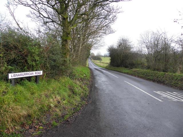
Image: © Kenneth Allen Taken: 23 Nov 2010
Heading NNE towards Broughshane; on the Google map and the OS map it is spelt Lisnamurrikin
Images are licensed for reuse under creativecommons.org/licenses/by-sa/2.0
Image Location
Latitude
54.866957
Longitude
-6.212869