Sleaford South Signalbox
Introduction
The photograph on this page of Sleaford South Signalbox by Steve Tapster as part of the Geograph project.
The Geograph project started in 2005 with the aim of publishing, organising and preserving representative images for every square kilometre of Great Britain, Ireland and the Isle of Man.

There are currently over 7.5m images from over 14,400 individuals and you can help contribute to the project by visiting https://www.geograph.org.uk
Sleaford South Signalbox
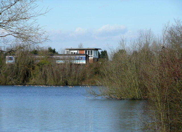
Image: © Steve Tapster Taken: 27 Feb 2008
View across the Ballast Pit towards Sleaford South signalbox with a class 153 unit en route to Peterborough.
Images are licensed for reuse under creativecommons.org/licenses/by-sa/2.0
Image Location
Latitude
52.992633
Longitude
-0.386463