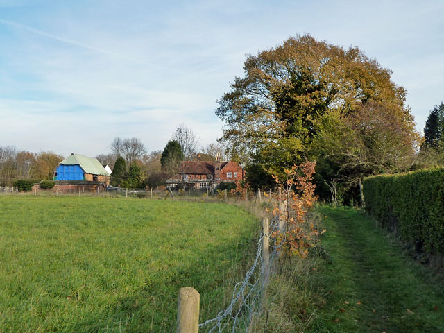
Diverted footpath 460, Betchworth
Introduction
The photograph on this page of Diverted footpath 460, Betchworth by Robin Webster as part of the Geograph project.
The Geograph project started in 2005 with the aim of publishing, organising and preserving representative images for every square kilometre of Great Britain, Ireland and the Isle of Man.
There are currently over 7.5m images from over 14,400 individuals and you can help contribute to the project by visiting https://www.geograph.org.uk

Image: © Robin Webster Taken: 24 Nov 2010
The route is diverted around sand quarry workings to the left. Curiously, on the Surrey County interactive map, the route is still shown taking a direct course across this area. Perhaps the idea is to reinstate the old route in the future. The barn on the left appears to be undergoing conversion.

